

ORIENTERING & TRACK
Most of the route of the EVEREST TRAIL RACE runs outside the classic trekking routes, but follows the paths commonly used by people of different passageways.
It is a test that knowledge about the use of compass, map and GPS are essential, although desirable, especially as relates to flat.
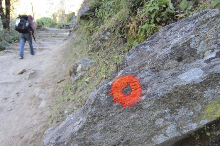
The whole track is appropriately marked days before the test and reviewed the day before each stage, so the possibility of getting lost, but objectively as possible, it is clearly difficult.
Throughout the tour, marks made by the organization, adopt different approaches depending on the point of travel. There are wooded areas or very open areas, where the path may be lost depending on certain circumstances such as snow, rain or fog. In these areas the number of brands is high. Stated another way, since each mark must see the following. However, there are other areas where evidence of the way makes the number of marks to a minimum and located mainly at crossroads where the organization makes the right direction to follow.
At some stage, by its length and / or slope, there is the possibility that dark at the end of the itinerary. In the month of November and the chosen route, early evening to 5:30 PM approx. Given the difficulty that can make getting the marks with the light front (computer required), the organization in some cases, equip the final part of the path with light bars to facilitate the arrival of the runners.
Although the route does not raise serious doubts as regards navigation, the compass itself is required as mandatory equipment for the organization as a key element in an eventual loss of orientation can occur for various reasons, snow, fog, night, or even for possible, although extremely rare, disappearance of any brand.
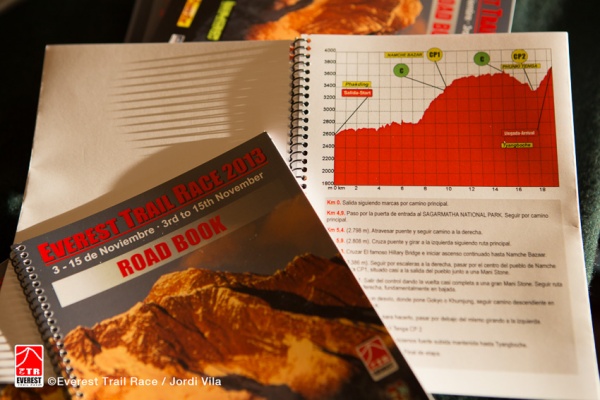
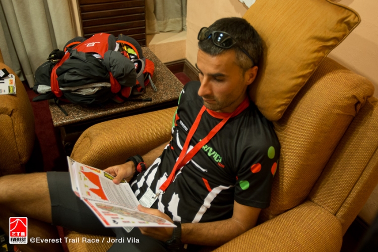
To all this goes together with road book provided by the organization before the race start at the stage of engineering controls, which must be kept as mandatory equipment for any test. In it are the maps of each stage, populations of step distances, slopes, profiles, dimensions, etc.., And geographical coordinates.
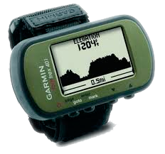
Although not required by the organization, they recommended the use of GPS for those who want it.